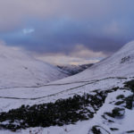
I recently went for a walk with the plan to go up Skiddaw (931 m), the fourth highest mountain in the Lake District. After heavy snow some days before it turned to be more difficult than I expected.
I drove towards Latrigg car park but found the road icy, I stopped for another vehicle and I was unable to get traction on the ice and to carry on up the hill past the Underscar manor hotel. I could have take a run at it, but decided it would be better to reverse back down to where I could turn around and then park near the start of the road. This gave me confidence I would be able to drive home without difficulty further after my walk.
I set off on foot for the end of the road, past the closed section. At this point the road became very icy and in fact difficult to walk on in places.
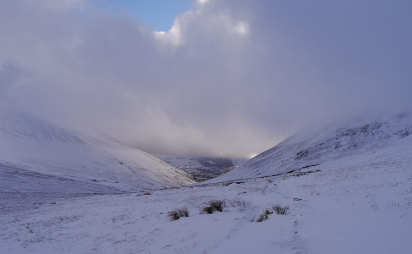
I reached the foot path and carried on to the gorge and followed the path gently rising below Lonscale Fell and around to the valley with Glenderaterra Beck. I followed this traversing the valley side towards Burnt Horse (Horse is a corruption of ‘Hause’ which means pass). As I reached the wall, the snow drifts became deep and at times I sunk up to my waist. I preserved, trying to avoid the deepest areas but there was now no sign anyone else had gone ahead, and therefore no footsteps to follow.
I continued on this to the YHA hostel at Skiddaw House. I walked around the building and up to Sale How. Struggling through the snow I reached Sale How, the visibility was also decreasing as I entered the cloud. I was now faced with the choice of preserving on or turning back. I though the snow higher might be firmer and more wind scoured which would enable me to walk faster, but after continuing only a short distance from Sale How (666 m) the visibility dropped to about 10 m. At this point I decide to turn back and retrace the 9 km I had walked in. I was also conscious I did not want to get benighted just as I had recently read about in Grough. Progress would have been slow with difficult conditions under foot and poor visibility. Any mistake in navigation whilst continuing forwards in such conditions could lead to difficulty, whereas going back I would be able to follow the valley even if the visibility remained poor.
As I walked back to Sale How I could see a little further and as I descended further the visibility improved. Looking back it was apparent I had reached the cloud level before.
I returned along the same trail, past Skiddaw House and along the valley. When I got back to my van, the ice there was now less and I had no difficulty in driving home.
It is unusual for me not the reach at least the first peak(s) I have set out for and I did not get a single ‘Wainwright’ but it was a useful learning experience. I feel it is best to err on the side of caution especially whilst out on the mountains alone.
The map above shows the route I walked marked in blue.
