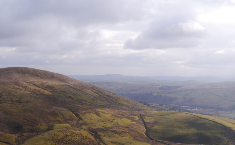
This Easter I headed to Yorkshire to meet up with my friend Stu, we went walking in the Dales, Lake District and then caving.
Hoffmann Kiln
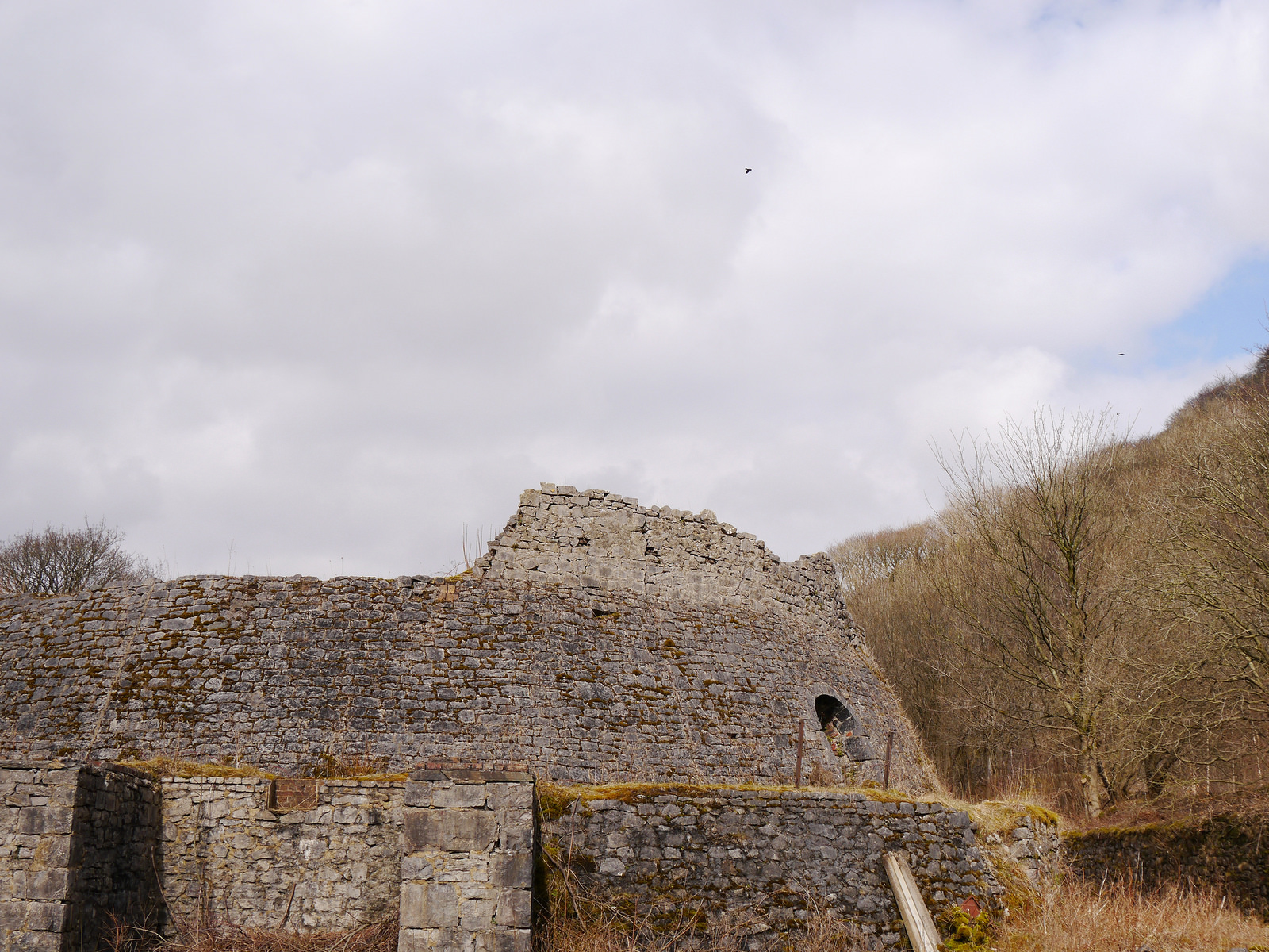
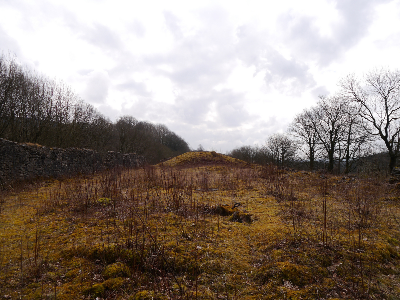
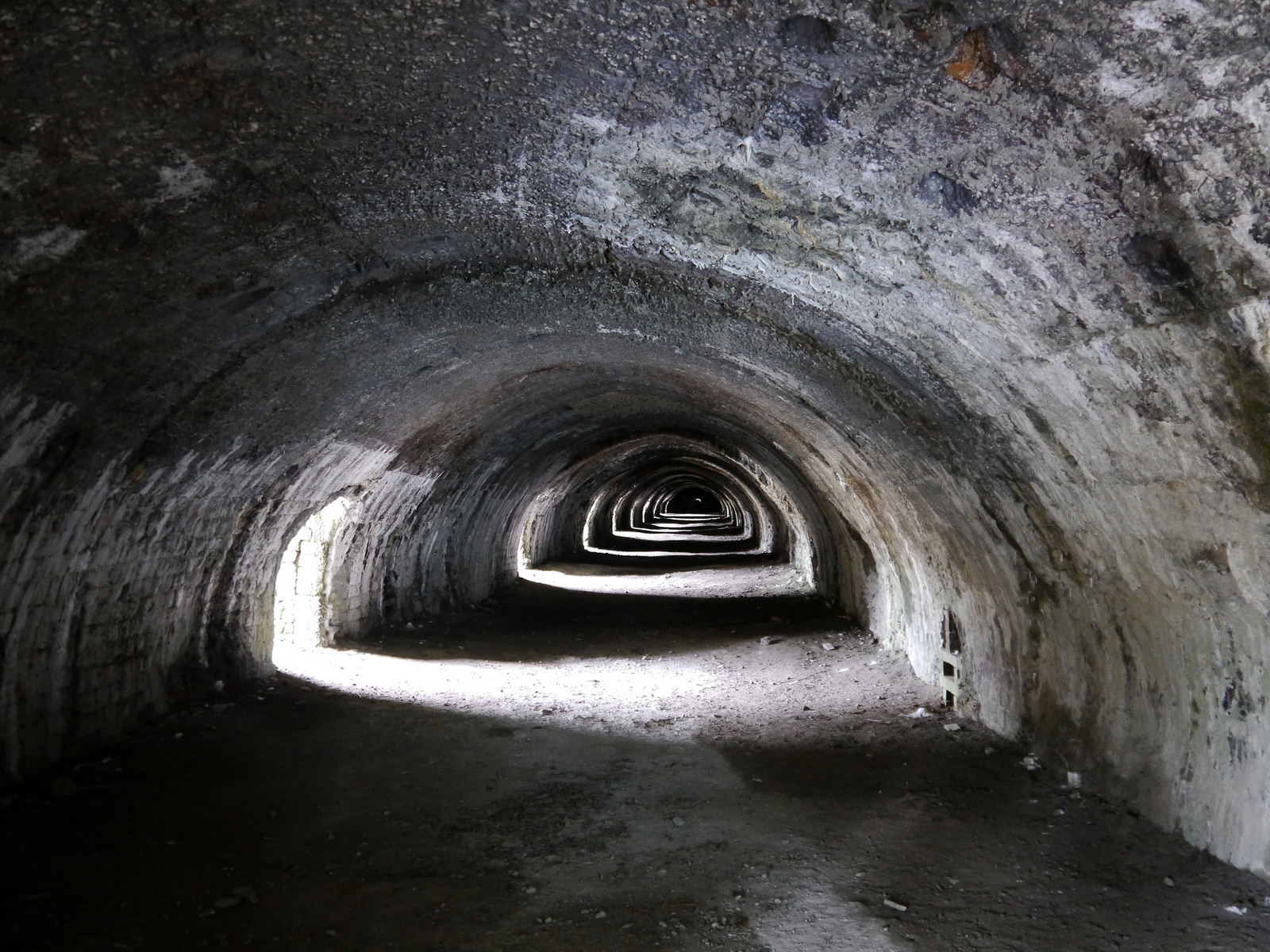
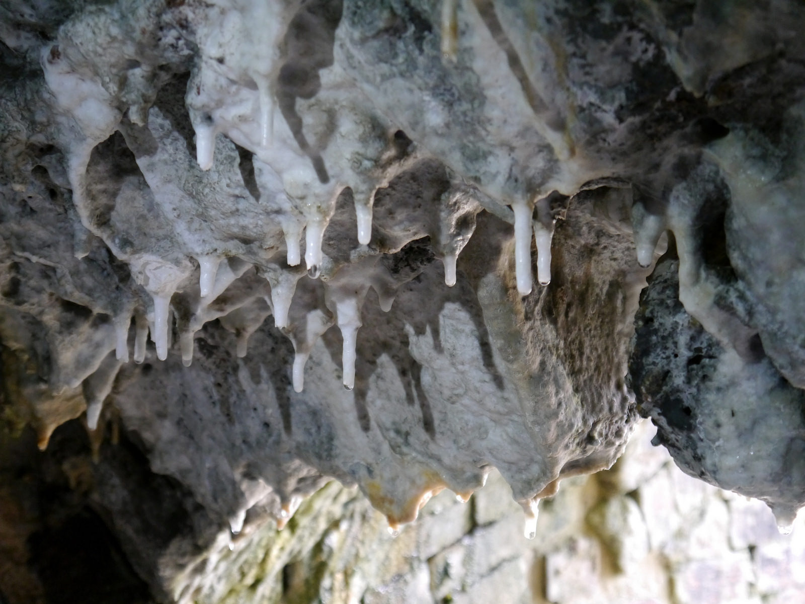
On the way to Brackenbottom we stopped to look at the Hoffmann Kiln in Langcliffe, near Settle. Built in 1873 to convert limestone into lime it is an impressive partly subterranean structure, which had 22 burning chambers.
Ingleborough
Starting from Brackenbottom we walked to Horton in Ribblesdale and then across the railway line into the open land. We continued along the path to Ingleborough (723 m) which in one of the Yorkshire three peaks, the other two being Pen-y-Ghent (694 m) and Whernside (736 m). From the summit plateau you can see the Ribblesdale viaduct which opened in 1875, and with 24 arches is 400 m long.
After the summit we continued over Little Ingleborough to see Gaping Gill. This famous cave has one of the most extensive networks and largest chambers (129m long, 31m high, and 25m wide) in the UK. The pothole is an impressive 98 m deep.
After Gaping Gill we walked around to Sulber Gate and then back to Brackenbottom.


The walk took 6 hrs 5 mins, 20.7 km (3.4km/hr), with 699 metres of ascent.
Kentmere horseshoe
The next day after some debate on which route to do, we agreed on the Kentmere Horseshoe.
This is a route is circular starting and finishing in Kentmere. Going around clockwise we first headed West up Granbun pass and then North to Yoke (706 m), Ill Bell (757 m), Frostwick (720 m). When exposed on the initial Western and Northern sections of the horseshoe we experience strong winds and buffeting however these lessened later in the day. There was also snow higher up and was care needed crossing slopes above two gullies. We contoured past Mardale Ill Bell (760 m) [we forgot to go over the top] and onto Harter Fell (778 m). From hear we followed the broad ridge South to Knowe (765 m), Kentmere Pike (730 m), Shipman Knotts (587 m), over Wray Crag and back down into Kentmere.


The walk took 7 hrs 2 mins, 19.2 km (2.7 km/hr) with 1,724 metres of ascent. Wainwright count 6 [7 if Mardale Ill Bell is included] (Yoke, Ill Bell, Frostwick, Harter Fell, Kentmere Pike and Shipman Knotts).
Bull Pot of the Witches
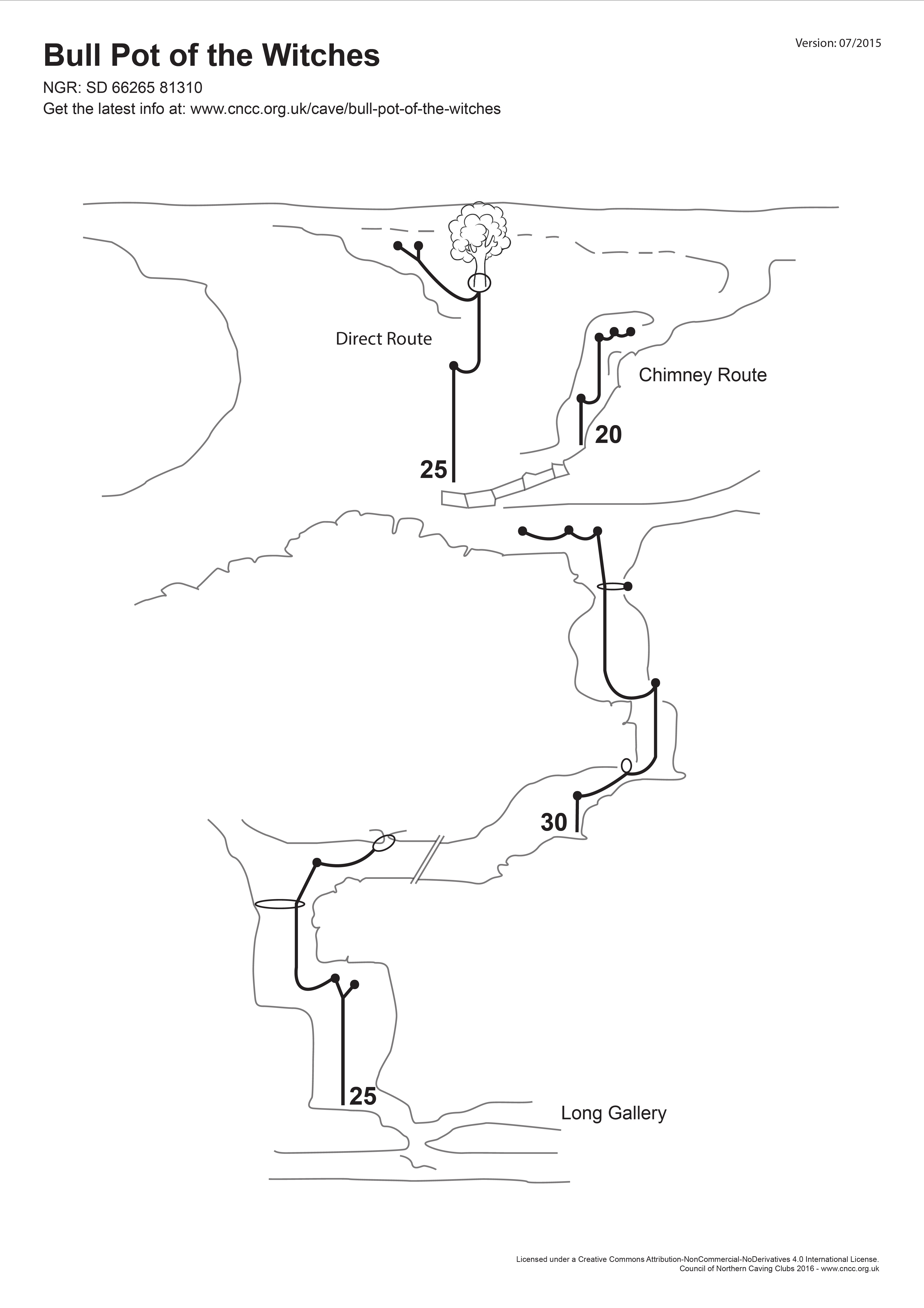
Bull Pot of the Witches is a cave in Casterton Fell in the Yorkshire Dales.
Stu led the way rigging the ropes and we abseiled down the main entrance and continued descending down into the cave until with reached the Long Gallery sump. This involved using three ropes and 8 ‘pitches’. We ascended back up the ropes and I did some of the de-rigging. From the entrance chamber we explored the upper chambers before ascending up the abseil rope.
This was my first proper Single Rope Technique (SRT) caving trip and I enjoyed it. Although I think my SRT setup or technique for ascending of the rope could be improved as I found it hard work.
Sorry no photos from caving as I did not take my camera underground.
Below is a diagram of the cave, produced by the Council on Northern Caving Clubs (CNCC).
