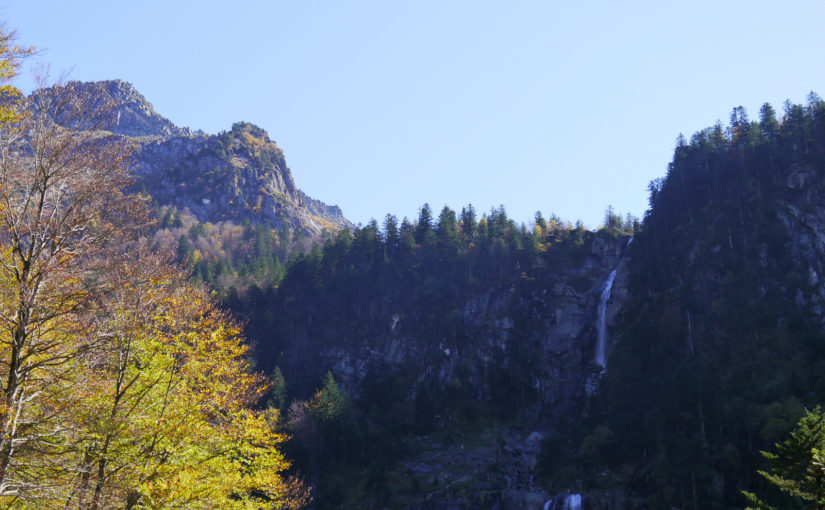
Whilst living in Toulouse, I went on three walking trips to the Pyrénées, specifically Parc naturel régional des Pyrénées ariégeoises.
The first trip was a day trip to Cascade d’Ars, which is near Aulus Les Bains.
I had been intending to do a different route but as I had forgotten my map, I decided to do a simpler and well-marked one. In France it is common for trails to have obvious way-markers.
I started the walk from the village of Aulus Les Bains, and on leaving the village the route follows a track into the woods. This becomes a trail with glimpses of higher mountains, and in many sections, it follows or crosses pleasant bubbling streams.


At points the valley narrows and path continues with the rivière d’Ars flowing through the gorge below. The Cascade d’Ars is at the head of the valley, vallée du Garbet. The total height of the three cascades is said to be 246 m.
After the waterfall I continued along the path some distance, past Cap de Pich (1485m) before following the same trail back. A good alternative would be to continue along this trail and return to Aulus Les Bains by a looped route via Entang de Guzet or to make the walk longer following rivière d’Ars to Hille de l’Étang.
The route was well-marked on clear trails the whole way but also provided good views. This walk is also part the of the GR10 (Grande Randonnée) trail which runs along the length of the Spanish-French border on the French side.


The walk took 5 hrs 10 mins, covering a distance of 12.1 km (2.3 km/hr) with 842 metres of ascent. A map of the route is shown below.
