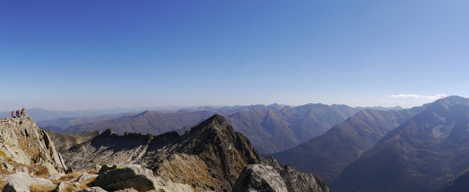
On my second trip to the Pyrénées from Toulouse, I walked up Pique Rouge de Bassiès (2676 m). The peak is located nearby to Cascade d’Ars where I walked on my previously trip and is in fact at the head of an adjacent valley.
The night before I drove to the start location for the walk, parked up and slept in my van. That night there was a nice starry sky.
Starting from Plateau de girantes near Aulus-les-Bains, I set off walking in the shade of the mountains. The trail passes ponds and lakes before ascending more steeply through a small wood. After rounding the corner the path continued up a steep grassy hillside until the main ridge line was gained at Col de Las Fauzés (1944 m). From here you can see down to lakes Étangs de Bassiès and where the hut refuge de Bassiès is located.


I followed the ridge to Pic del Planes (2063 m) and Pic de Fauziés (2281 m). The path then leads through a boulder field, traversing Pic de Caumale (2523 m) and passing several small ponds above Étangs des Lavants de l’Escale. After this there is a final steep section onto the summit of Pique Rouge de Bassiès. The peak had broad a slope but only relatively small summit area with steep drops on the other sides. If the weather is clear the summits offers excellent view in all directions.
I walked back along the same route, with the sun getting lower the shadow enhanced the series of panoramas and silhouetted valleys.
The weather had been clear blue skies and warm sunshine.


The walk took 8 hrs 43 mins, 14.4 km (1.6 km/hr) with 1,320 metres of ascent. A map of the route is shown below.
An alternative circular route was considered returning past Étangs des Lavants de l’Escale and Refuge de Bassiès but this would have added 6 km and 300 m ascent.
